Drain Mapping
Drain mapping is designed to locate and record the location of underground drainage systems – often carried out alongside a CCTV drain survey or build over surveys when required.
Build over surveys are becoming commonplace for people who are building extensions, or undertaking building work on their property, as water company drains and sewers tend to be found under private gardens and side returns. You need to know where the drainage system is to arrange planning permission – helping to avoid expensive fines when work starts.
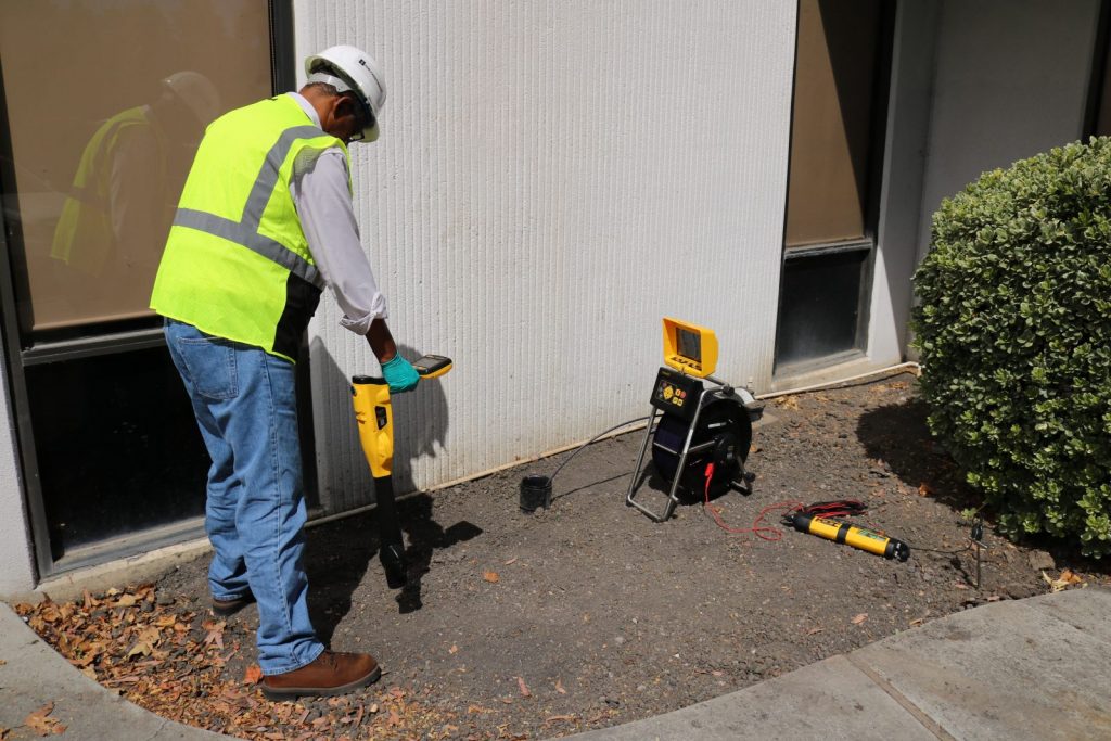
Sondes transmit a high-frequency signal that is picked up using a locator – allowing us to accurately map the system.
This NADC approved training course is designed to teach candidates why mapping a drain is important, the safety issues involved with drain mapping, basic site investigation techniques and use of tracing equipment.

All candidates must have a copy of this manual to attend this course. The manual is available here.
The duration of the course will be 1 day at a cost per candidate of £240.00.
Further information on this training course and additional drainage industry training courses are available at the National Drainage Academy.
*Would you like find out more information before booking?
Leave order to call back


